This website is no longer updated and has been replaced with a static copy. The Spatial History Project was active at Stanford University from 2007-2022, engaging in dozens of collaborative projects led by faculty, staff, graduate students, post-docs, visiting scholars and others at Stanford and beyond. More than 150 undergraduate students from more than a dozen disciplines contributed to these projects. In addition to a robust intellectual exchange built through these partnerships, research outputs included major monographs, edited volumes, journal articles, museum exhibitions, digital articles, robust websites, and dozens of lightweight interactive visualizations, mostly developed with Adobe Flash (now defunct). While most of those publications live on in other forms, the content exclusive to this website is preserved in good faith through this static version of the site. Flash-based content is partially available in emulated form using the Ruffle emulator.
The Law of the Antebellum Frontier
Innovative digital research technologies allow us to look at the expansion of the American nation during the critical years before the Civil War in new ways. During this time in history, law served in the process of empire. The Law of the Antebellum Frontier project was designed to integrate four components:
1. "Sovereignty: The Movie":
This project is an attempt to visually recreate the changing sovereign empires' claims over the Ohio and Mississippi valley. Underlining this map of changing claims by settlement empires are the claims of sovereignty of the numerous indigenous nations. Using research regarding the spread of steamboats, taverns, and courts being held along the highways of the Ohio River and Mississippi River during the Antebellum Frontier, the team hopes to demonstrate the limits of legal jurisdiction with expanding sovereignty by mapping the expansion of the American empire in the Northwest Territory, and reciprocally, they hope to further illustrate how the American empire thus created American law.
2. Geolocation of St. Louis in the 1840s:
Using a massive amount of census and city atlas data, the team is working to demonstrate the patterns of migration on the frontier, both into and out of St. Louis, of numerous sub-populations of interest, including both the free black and slave populations present during this era. As St. Louis was considered a "staging area" for those who were travelling further west, it is essential that this critical city of the frontier is mapped with greater detail than ever before by using advanced GIS technology. Now, the trade-off of slave labor for free immigrant labor, and the reverse, can be studied systematically.
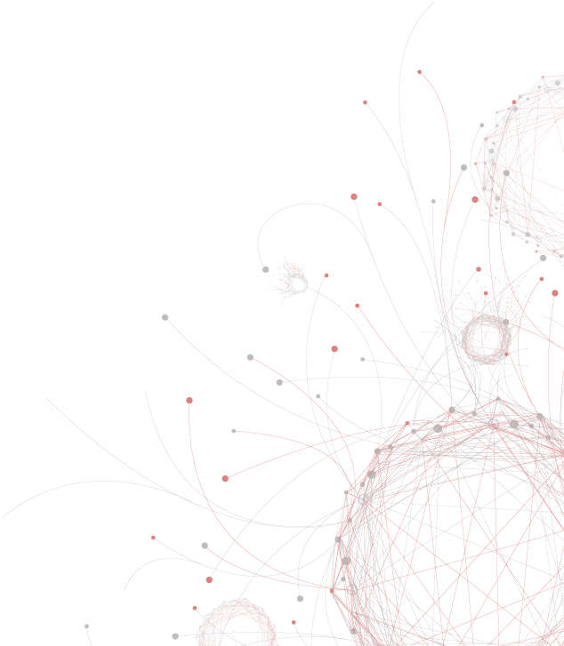
3. Social Networking in the Frontier's Global Business: The Fur Trade:
Using the rich cache of invoices and correspondence generated by the American Fur Company, the flow of communication, money, and power in the frontier can now be mapped with greater accuracy than ever before.
4. Text Mining for Themes of Note in Early America:
Using literary software to "crunch" massive amounts of frontier-based documentation, the team hopes to reveal the great themes of early America in a way that was not before possible. The two primary textual sources will be travel diaries and travel narratives written from 1809 to 1840, as well as the massive amount of correspondence found in the U.S. territorial papers.
Former Lab Staff:
Celena Allen


CESTA | Spatial History Project
Wallenberg Hall, 450 Serra Mall
Mail: Bldg 160, Rm 228 - In Person: Fourth Floor
Stanford, CA 94305-2055

Mail: Bldg 160, Rm 228 - In Person: Fourth Floor
Stanford, CA 94305-2055
©2007-2022 The Spatial History Project All Rights Reserved
The Spatial History Project at Stanford University, a part of the Center for Spatial and Textual Analysis, was made possible by the generous funding of the Vice Provost for Undergraduate Education (VPUE), DoResearch, The Andrew W. Mellon Foundation, and The Wallenberg Foundation Media Places Initiative.
v3